Latitude: 52.5644 / 52°33'51"N
Longitude: -3.2037 / 3°12'13"W
OS Eastings: 318501
OS Northings: 296963
OS Grid: SO185969
Mapcode National: GBR 9X.CKX7
Mapcode Global: WH7B1.RSLY
Pluscode: 9C4RHQ7W+PG
What3Words: retract.unclaimed.monument
Is the location marker in the wrong place? You can help fix that!
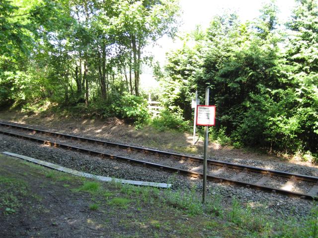
We don't yet have any user-contributed photos of Llegodig Level Crossing.