Latitude: 52.521 / 52°31'15"N
Longitude: -1.6508 / 1°39'2"W
OS Eastings: 423791
OS Northings: 291518
OS Grid: SP237915
Mapcode National: GBR 5J4.X24
Mapcode Global: VHBW9.BWNR
Pluscode: 9C4WG8CX+CM
What3Words: perform.pampering.prom
Is the location marker in the wrong place? You can help fix that!
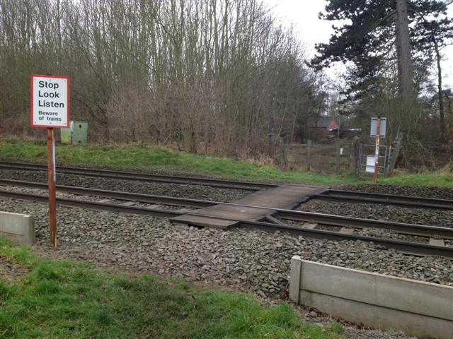
We don't yet have any user-contributed photos of Lockharts Level Crossing.