Latitude: 51.346 / 51°20'45"N
Longitude: -2.9546 / 2°57'16"W
OS Eastings: 333609
OS Northings: 161198
OS Grid: ST336611
Mapcode National: GBR J7.VHHQ
Mapcode Global: VH7CK.QFWJ
Pluscode: 9C3V82WW+95
What3Words: mount.sport.mimic
Is the location marker in the wrong place? You can help fix that!
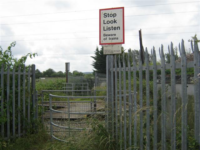
We don't yet have any user-contributed photos of Locking Road Level Crossing.