Latitude: 54.1929 / 54°11'34"N
Longitude: -0.5045 / 0°30'16"W
OS Eastings: 497671
OS Northings: 478493
OS Grid: SE976784
Mapcode National: GBR SMXY.KQ
Mapcode Global: WHGCC.7W00
Pluscode: 9C6X5FVW+55
What3Words: series.teaches.zips
Is the location marker in the wrong place? You can help fix that!
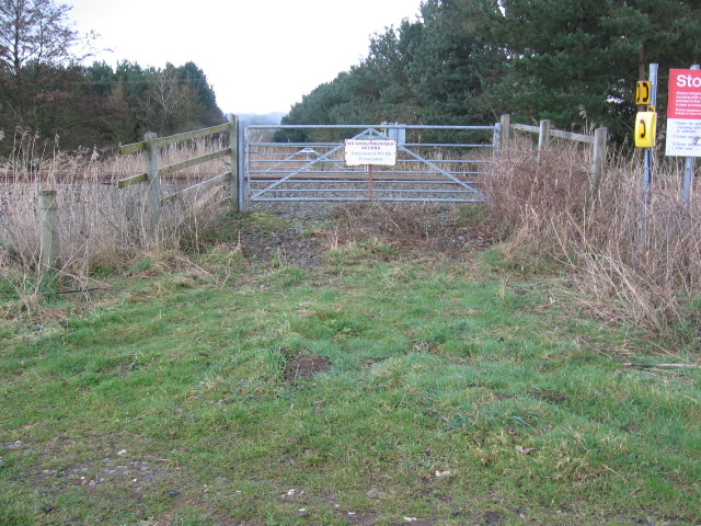
We don't yet have any user-contributed photos of Long Plantation Level Crossing.