Latitude: 53.8689 / 53°52'7"N
Longitude: -2.398 / 2°23'52"W
OS Eastings: 373928
OS Northings: 441479
OS Grid: SD739414
Mapcode National: GBR CRPP.NV
Mapcode Global: WH96J.40DW
Pluscode: 9C5VVJ92+GR
What3Words: fractions.silently.weep
Is the location marker in the wrong place? You can help fix that!
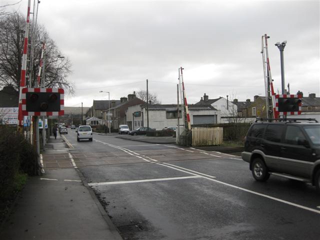
We don't yet have any user-contributed photos of Low Moor Level Crossing.