Latitude: 52.3599 / 52°21'35"N
Longitude: -3.092 / 3°5'31"W
OS Eastings: 325735
OS Northings: 274097
OS Grid: SO257740
Mapcode National: GBR B2.SHFH
Mapcode Global: VH76G.CY89
Pluscode: 9C4R9W55+X6
What3Words: gliding.incur.talkative
Is the location marker in the wrong place? You can help fix that!
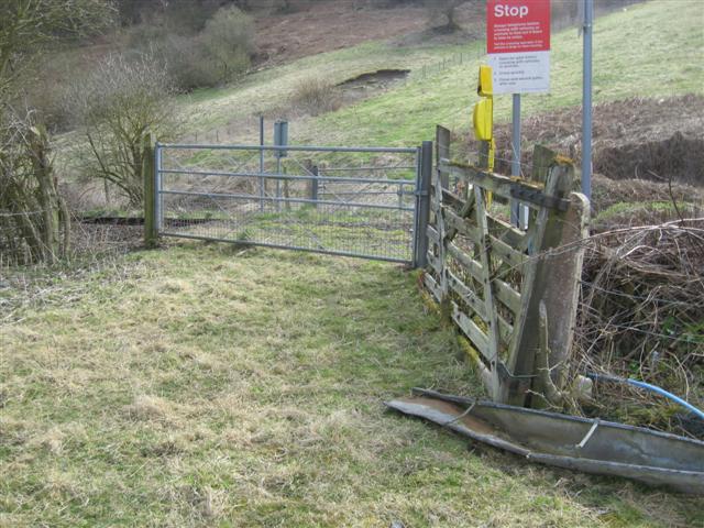
We don't yet have any user-contributed photos of Lower House Farm Level Crossing.