Latitude: 53.7839 / 53°47'2"N
Longitude: -1.0102 / 1°0'36"W
OS Eastings: 465313
OS Northings: 432406
OS Grid: SE653324
Mapcode National: GBR PSDP.29
Mapcode Global: WHFD3.G551
Pluscode: 9C5WQXMQ+HW
What3Words: witless.search.parading
Is the location marker in the wrong place? You can help fix that!
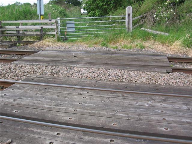
We don't yet have any user-contributed photos of Lund Lane Level Crossing.