Latitude: 53.6901 / 53°41'24"N
Longitude: -0.9718 / 0°58'18"W
OS Eastings: 467996
OS Northings: 422003
OS Grid: SE679220
Mapcode National: GBR PTNR.DY
Mapcode Global: WHFDJ.1HJZ
Pluscode: 9C5XM2RH+27
What3Words: retire.recorder.besotted
Is the location marker in the wrong place? You can help fix that!
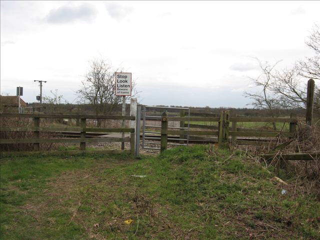
We don't yet have any user-contributed photos of Mill Lane Level Crossing.