Latitude: 51.7912 / 51°47'28"N
Longitude: -0.8101 / 0°48'36"W
OS Eastings: 482163
OS Northings: 210955
OS Grid: SP821109
Mapcode National: GBR D34.L0F
Mapcode Global: VHDVB.X72P
Pluscode: 9C3XQ5RQ+FX
What3Words: crunch.ballots.flagpole
Is the location marker in the wrong place? You can help fix that!
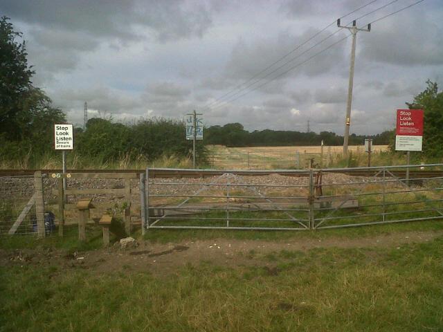
We don't yet have any user-contributed photos of Moat Farm No.2 Level Crossing.