Latitude: 55.3653 / 55°21'55"N
Longitude: -4.6618 / 4°39'42"W
OS Eastings: 231394
OS Northings: 611145
OS Grid: NS313111
Mapcode National: GBR 48.40WR
Mapcode Global: WH2Q8.CDBR
Pluscode: 9C7Q988Q+47
What3Words: paused.dozen.universes
Is the location marker in the wrong place? You can help fix that!
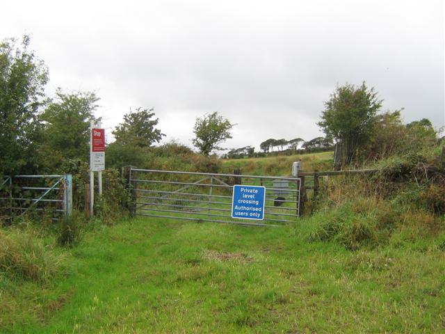
We don't yet have any user-contributed photos of Myremill Level Crossing.