Latitude: 52.5542 / 52°33'15"N
Longitude: 1.5754 / 1°34'31"E
OS Eastings: 642476
OS Northings: 301157
OS Grid: TG424011
Mapcode National: GBR XL7.WMS
Mapcode Global: VHM65.8278
Pluscode: 9F43HH3G+M5
What3Words: punctured.martini.passenger
Is the location marker in the wrong place? You can help fix that!
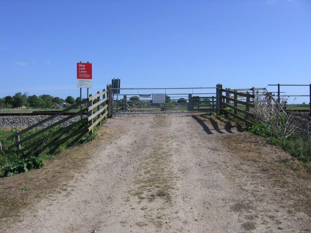
We don't yet have any user-contributed photos of Norton Marsh Level Crossing.