Latitude: 52.3508 / 52°21'2"N
Longitude: -3.0591 / 3°3'32"W
OS Eastings: 327955
OS Northings: 273053
OS Grid: SO279730
Mapcode National: GBR B3.T5HF
Mapcode Global: VH76N.X5MQ
Pluscode: 9C4R9W2R+89
What3Words: harps.fictional.waistcoat
Is the location marker in the wrong place? You can help fix that!
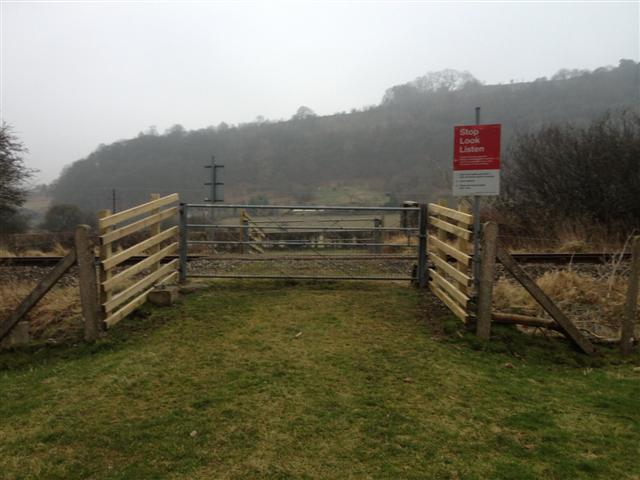
We don't yet have any user-contributed photos of Panpunton Farm 2 Level Crossing.