Latitude: 50.355 / 50°21'18"N
Longitude: -4.7047 / 4°42'16"W
OS Eastings: 207698
OS Northings: 54068
OS Grid: SX076540
Mapcode National: GBR N3.W39X
Mapcode Global: FRA 1813.6Z8
Pluscode: 9C2Q974W+24
What3Words: craftsmen.juniors.tutored
Is the location marker in the wrong place? You can help fix that!
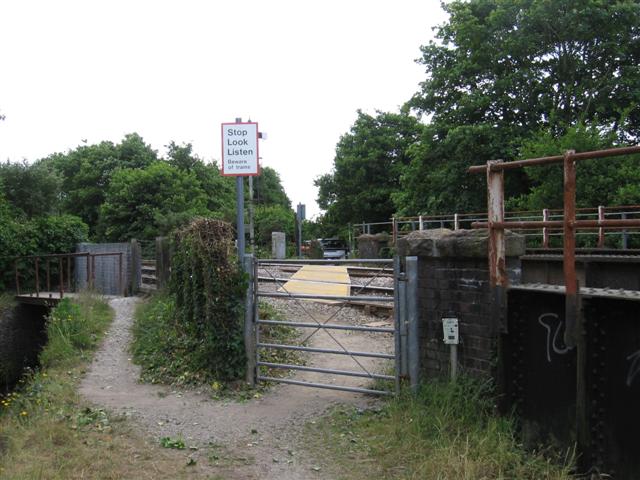
We don't yet have any user-contributed photos of Par Level Crossing.