Latitude: 52.7515 / 52°45'5"N
Longitude: -2.1147 / 2°6'53"W
OS Eastings: 392352
OS Northings: 317108
OS Grid: SJ923171
Mapcode National: GBR 28V.D61
Mapcode Global: WHBF6.H36F
Pluscode: 9C4VQV2P+J4
What3Words: jazz.others.handy
Is the location marker in the wrong place? You can help fix that!
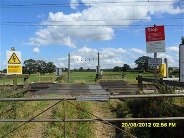
We don't yet have any user-contributed photos of Parrott No.1 Level Crossing.