Latitude: 52.7548 / 52°45'17"N
Longitude: -2.1142 / 2°6'51"W
OS Eastings: 392390
OS Northings: 317476
OS Grid: SJ923174
Mapcode National: GBR 28V.6BB
Mapcode Global: WHBF6.H0GW
Pluscode: 9C4VQV3P+W8
What3Words: moved.random.hands
Is the location marker in the wrong place? You can help fix that!
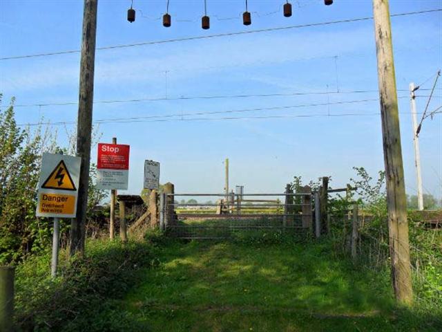
We don't yet have any user-contributed photos of Parrott No.2 Level Crossing.