Latitude: 57.2254 / 57°13'31"N
Longitude: -2.2267 / 2°13'35"W
OS Eastings: 386412
OS Northings: 814985
OS Grid: NJ864149
Mapcode National: GBR XJ.JDZ7
Mapcode Global: WH9Q8.RNW9
Pluscode: 9C9V6QGF+58
What3Words: tribal.goods.deriving
Is the location marker in the wrong place? You can help fix that!
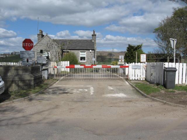
We don't yet have any user-contributed photos of Pitmedden Level Crossing.