Latitude: 53.7266 / 53°43'35"N
Longitude: -2.6553 / 2°39'19"W
OS Eastings: 356861
OS Northings: 425773
OS Grid: SD568257
Mapcode National: GBR 9TWB.YV
Mapcode Global: WH96Z.5LVH
Pluscode: 9C5VP8GV+JV
What3Words: inches.haven.carbon
Is the location marker in the wrong place? You can help fix that!
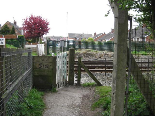
We don't yet have any user-contributed photos of Playing Fields Level Crossing.