Latitude: 53.2237 / 53°13'25"N
Longitude: -2.8136 / 2°48'49"W
OS Eastings: 345774
OS Northings: 369937
OS Grid: SJ457699
Mapcode National: GBR 7F.0T77
Mapcode Global: WH888.R7CG
Pluscode: 9C5V65FP+FG
What3Words: supreme.fishnet.poem
Is the location marker in the wrong place? You can help fix that!
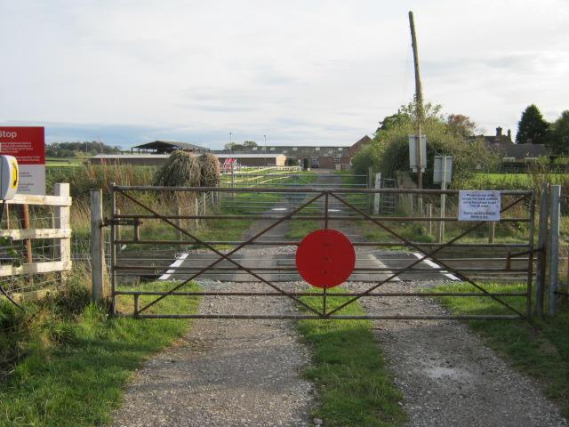
We don't yet have any user-contributed photos of Plemstall Level Crossing.