Latitude: 52.353 / 52°21'10"N
Longitude: 0.3044 / 0°18'15"E
OS Eastings: 557040
OS Northings: 275270
OS Grid: TL570752
Mapcode National: GBR M73.KRF
Mapcode Global: VHHJM.7480
Pluscode: 9F429833+6Q
What3Words: visions.ranches.unloaded
Is the location marker in the wrong place? You can help fix that!
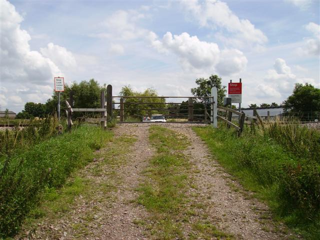
We don't yet have any user-contributed photos of Poplar Drove No. 30 Level Crossing.