Latitude: 53.1429 / 53°8'34"N
Longitude: -0.3995 / 0°23'58"W
OS Eastings: 507151
OS Northings: 361838
OS Grid: TF071618
Mapcode National: GBR GQ6.V4X
Mapcode Global: WHGJM.T8YD
Pluscode: 9C5X4JV2+55
What3Words: purchaser.folds.remove
Is the location marker in the wrong place? You can help fix that!
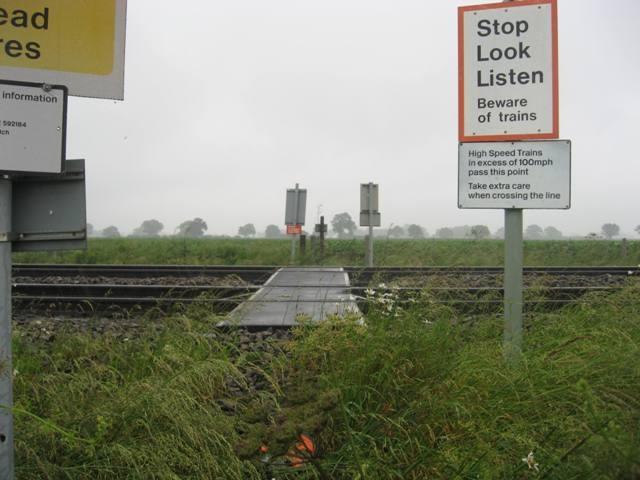
We don't yet have any user-contributed photos of Public Footpath No.10 Level Crossing.