Latitude: 53.1409 / 53°8'27"N
Longitude: -0.3954 / 0°23'43"W
OS Eastings: 507428
OS Northings: 361615
OS Grid: TF074616
Mapcode National: GBR GQD.2TR
Mapcode Global: WHGJM.W9WZ
Pluscode: 9C5X4JR3+8R
What3Words: shoulders.dazzling.resists
Is the location marker in the wrong place? You can help fix that!
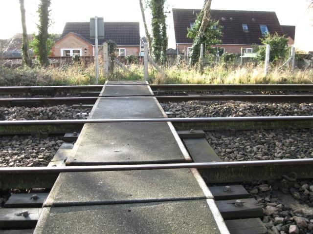
We don't yet have any user-contributed photos of Public Footpath No.11 Level Crossing.