Latitude: 53.6143 / 53°36'51"N
Longitude: -1.1143 / 1°6'51"W
OS Eastings: 458689
OS Northings: 413446
OS Grid: SE586134
Mapcode National: GBR NVNN.K3
Mapcode Global: WHDCP.VFK2
Pluscode: 9C5WJV7P+P7
What3Words: striving.grief.backs
Is the location marker in the wrong place? You can help fix that!
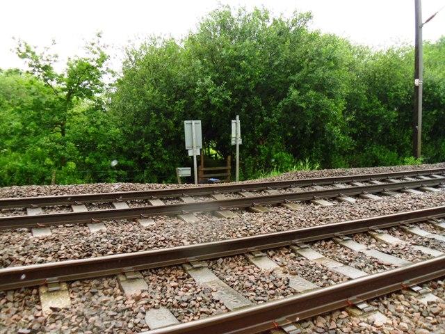
We don't yet have any user-contributed photos of Public Footpath No.16 Level Crossing.