Latitude: 53.5871 / 53°35'13"N
Longitude: -0.1288 / 0°7'43"W
OS Eastings: 523958
OS Northings: 411680
OS Grid: TA239116
Mapcode National: GBR WVJY.XW
Mapcode Global: WHHHR.Z3TF
Pluscode: 9C5XHVPC+RF
What3Words: scarf.inflates.presuming
Is the location marker in the wrong place? You can help fix that!
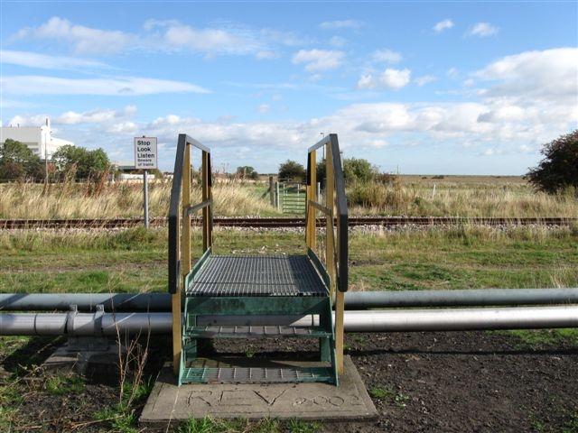
We don't yet have any user-contributed photos of Public Footpath No.46 Level Crossing.