Latitude: 52.9364 / 52°56'11"N
Longitude: -0.7618 / 0°45'42"W
OS Eastings: 483316
OS Northings: 338385
OS Grid: SK833383
Mapcode National: GBR CN8.S8G
Mapcode Global: WHFJ9.8GH7
Pluscode: 9C4XW6PQ+H7
What3Words: louder.parkland.aquatics
Is the location marker in the wrong place? You can help fix that!
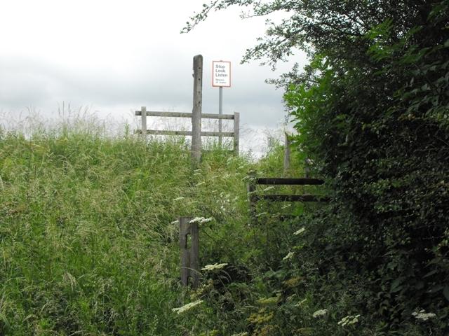
We don't yet have any user-contributed photos of Public Footpath No.88 Level Crossing.