Latitude: 53.6862 / 53°41'10"N
Longitude: -0.928 / 0°55'40"W
OS Eastings: 470897
OS Northings: 421614
OS Grid: SE708216
Mapcode National: GBR PTYT.WB
Mapcode Global: WHFDJ.QL9Y
Pluscode: 9C5XM3PC+FR
What3Words: shippers.reference.climate
Is the location marker in the wrong place? You can help fix that!
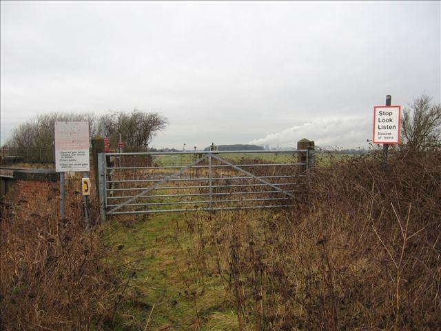
We don't yet have any user-contributed photos of Rawcliffe Branch Level Crossing.