Latitude: 54.8867 / 54°53'11"N
Longitude: -2.819 / 2°49'8"W
OS Eastings: 347559
OS Northings: 554964
OS Grid: NY475549
Mapcode National: GBR 8CRY.H1
Mapcode Global: WH804.NFTN
Pluscode: 9C6VV5PJ+MC
What3Words: approach.stops.remarried
Is the location marker in the wrong place? You can help fix that!
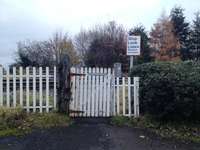
We don't yet have any user-contributed photos of Sandy Lane Level Crossing.