Latitude: 54.0862 / 54°5'10"N
Longitude: -1.2249 / 1°13'29"W
OS Eastings: 450798
OS Northings: 465861
OS Grid: SE507658
Mapcode National: GBR MPW5.LZ
Mapcode Global: WHD9B.4KYB
Pluscode: 9C6W3QPG+F2
What3Words: unsettled.crunch.flanked
Is the location marker in the wrong place? You can help fix that!
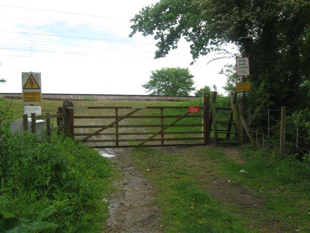
We don't yet have any user-contributed photos of Sandy Lane Level Crossing.