Latitude: 58.5096 / 58°30'34"N
Longitude: -3.4688 / 3°28'7"W
OS Eastings: 314517
OS Northings: 958878
OS Grid: ND145588
Mapcode National: GBR K6S7.KQ8
Mapcode Global: WH5BY.PCDS
Pluscode: 9CCRGG5J+VF
What3Words: today.samplers.bandstand
Is the location marker in the wrong place? You can help fix that!
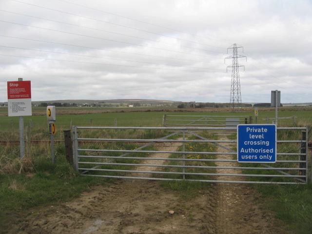
We don't yet have any user-contributed photos of Sibster Burn Level Crossing.