Latitude: 53.9876 / 53°59'15"N
Longitude: -0.436 / 0°26'9"W
OS Eastings: 502644
OS Northings: 455753
OS Grid: TA026557
Mapcode National: GBR TQDB.D9
Mapcode Global: WHGDK.81MB
Pluscode: 9C5XXHQ7+3H
What3Words: copying.bombshell.troubles
Is the location marker in the wrong place? You can help fix that!
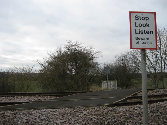
We don't yet have any user-contributed photos of Skerne Leys Level Crossing.