Latitude: 53.5829 / 53°34'58"N
Longitude: -1.1187 / 1°7'7"W
OS Eastings: 458444
OS Northings: 409949
OS Grid: SE584099
Mapcode National: GBR NWM0.LC
Mapcode Global: WHDCW.S6HM
Pluscode: 9C5WHVMJ+5G
What3Words: broke.hang.credit
Is the location marker in the wrong place? You can help fix that!
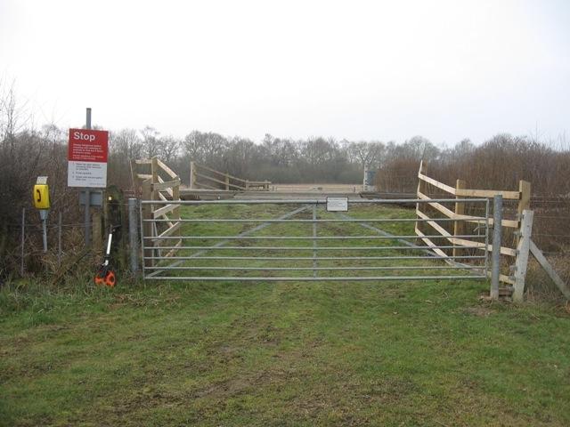
We don't yet have any user-contributed photos of South Farm No.2 Level Crossing.