Latitude: 51.784 / 51°47'2"N
Longitude: -2.2755 / 2°16'31"W
OS Eastings: 381088
OS Northings: 209518
OS Grid: SO810095
Mapcode National: GBR 0KS.1HZ
Mapcode Global: VH94Q.HFW7
Pluscode: 9C3VQPMF+JQ
What3Words: array.fence.bottled
Is the location marker in the wrong place? You can help fix that!
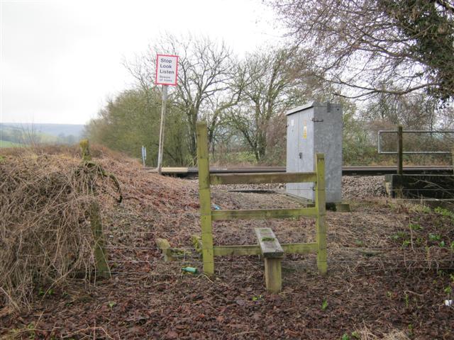
We don't yet have any user-contributed photos of Standish 12 Level Crossing.