Latitude: 53.5271 / 53°31'37"N
Longitude: -2.0339 / 2°2'1"W
OS Eastings: 397852
OS Northings: 403383
OS Grid: SD978033
Mapcode National: GBR GW7N.GC
Mapcode Global: WHB9C.QLPX
Pluscode: 9C5VGXG8+RF
What3Words: blame.revives.shredding
Is the location marker in the wrong place? You can help fix that!
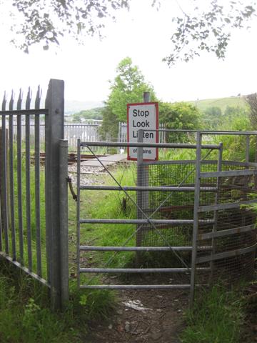
We don't yet have any user-contributed photos of Stockport Road Level Crossing.