Latitude: 51.33 / 51°19'48"N
Longitude: -1.9224 / 1°55'20"W
OS Eastings: 405501
OS Northings: 158996
OS Grid: SU055589
Mapcode National: GBR 3WN.DT1
Mapcode Global: VHB4H.MTKR
Pluscode: 9C3W83JH+22
What3Words: unrealistic.dance.lamplight
Is the location marker in the wrong place? You can help fix that!
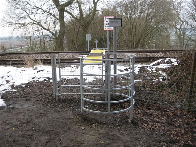
We don't yet have any user-contributed photos of Stoner Level Crossing.