Latitude: 53.7038 / 53°42'13"N
Longitude: -1.1969 / 1°11'48"W
OS Eastings: 453111
OS Northings: 423339
OS Grid: SE531233
Mapcode National: GBR NT2M.N1
Mapcode Global: WHDC8.L57F
Pluscode: 9C5WPR33+G6
What3Words: boil.trader.dentures
Is the location marker in the wrong place? You can help fix that!
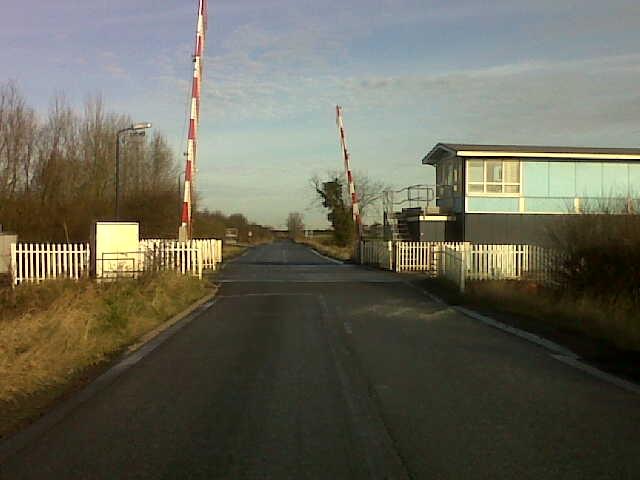
We don't yet have any user-contributed photos of Sudforth Lane Level Crossing.