Latitude: 52.6888 / 52°41'19"N
Longitude: -2.7709 / 2°46'15"W
OS Eastings: 347989
OS Northings: 310397
OS Grid: SJ479103
Mapcode National: GBR BH.3QHX
Mapcode Global: WH8BT.DPR3
Pluscode: 9C4VM6QH+GJ
What3Words: admiral.sums.claps
Is the location marker in the wrong place? You can help fix that!
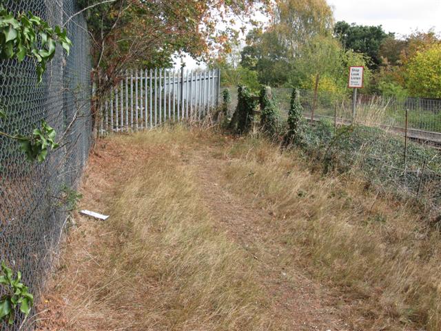
We don't yet have any user-contributed photos of Sutton Bridge Distant Level Crossing.