Latitude: 54.8468 / 54°50'48"N
Longitude: -2.7953 / 2°47'42"W
OS Eastings: 349030
OS Northings: 550515
OS Grid: NY490505
Mapcode National: GBR 8DXD.MB
Mapcode Global: WH80C.1F6P
Pluscode: 9C6VR6W3+PV
What3Words: smokers.sharpens.golf
Is the location marker in the wrong place? You can help fix that!
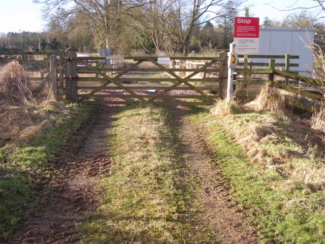
We don't yet have any user-contributed photos of Syke Foot Level Crossing.