Latitude: 51.6924 / 51°41'32"N
Longitude: -3.7695 / 3°46'10"W
OS Eastings: 277786
OS Northings: 200777
OS Grid: SN777007
Mapcode National: GBR H4.4NJG
Mapcode Global: VH5GG.MQ1G
Pluscode: 9C3RM6RJ+X5
What3Words: ocean.feeds.unwanted
Is the location marker in the wrong place? You can help fix that!
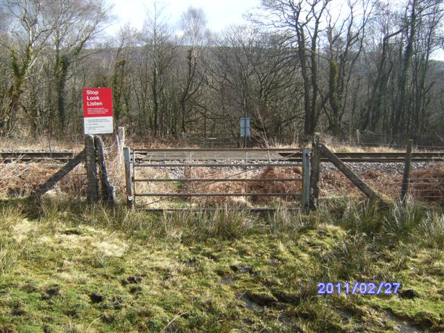
We don't yet have any user-contributed photos of Tan-y-rhiw Farm Level Crossing.