Latitude: 54.2159 / 54°12'57"N
Longitude: -3.3188 / 3°19'7"W
OS Eastings: 314099
OS Northings: 480817
OS Grid: SD140808
Mapcode National: GBR 5M8P.9H
Mapcode Global: WH721.Z9SD
Pluscode: 9C6R6M8J+8F
What3Words: clef.frost.submerge
Is the location marker in the wrong place? You can help fix that!
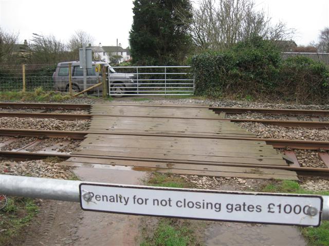
We don't yet have any user-contributed photos of Taylor's Level Crossing.