Latitude: 53.6548 / 53°39'17"N
Longitude: -0.3233 / 0°19'24"W
OS Eastings: 510907
OS Northings: 418897
OS Grid: TA109188
Mapcode National: GBR VV55.SL
Mapcode Global: WHHH9.0D9H
Pluscode: 9C5XMM3G+WM
What3Words: matchbox.flight.contrived
Is the location marker in the wrong place? You can help fix that!
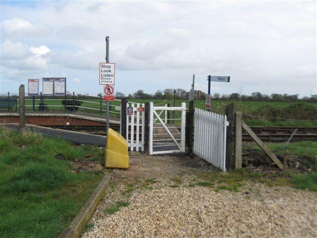
We don't yet have any user-contributed photos of Thornton Abbey Station Level Crossing.