Latitude: 51.0673 / 51°4'2"N
Longitude: -2.5453 / 2°32'43"W
OS Eastings: 361886
OS Northings: 129920
OS Grid: ST618299
Mapcode National: GBR MS.F4YV
Mapcode Global: FRA 56K9.G6S
Pluscode: 9C3V3F83+WV
What3Words: umpires.contemplate.sour
Is the location marker in the wrong place? You can help fix that!
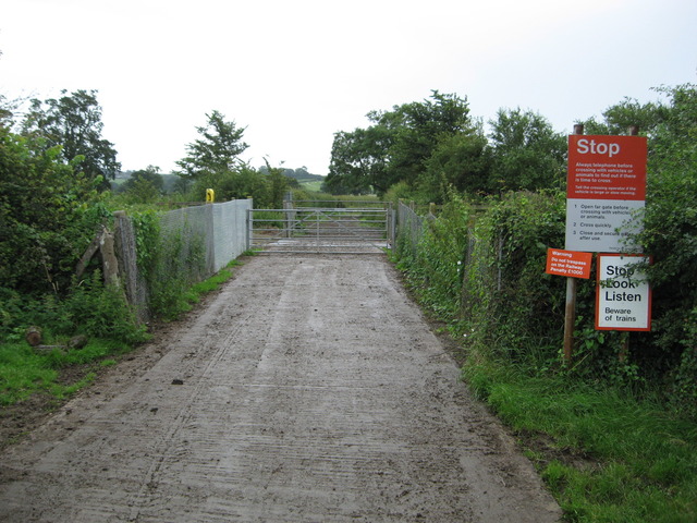
We don't yet have any user-contributed photos of Thorny Marsh Lane Level Crossing.