Latitude: 56.8435 / 56°50'36"N
Longitude: -5.1143 / 5°6'51"W
OS Eastings: 210148
OS Northings: 776768
OS Grid: NN101767
Mapcode National: GBR FBRM.N3W
Mapcode Global: WH1FR.D8V2
Pluscode: 9C8PRVVP+97
What3Words: encloses.region.unfocused
Is the location marker in the wrong place? You can help fix that!
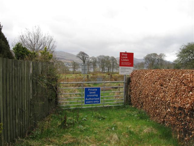
We don't yet have any user-contributed photos of Timonie Farm Level Crossing.