Latitude: 58.0148 / 58°0'53"N
Longitude: -4.3665 / 4°21'59"W
OS Eastings: 260290
OS Northings: 905300
OS Grid: NC602053
Mapcode National: GBR H7LJ.W20
Mapcode Global: WH3BK.WTX3
Pluscode: 9CCQ2J7M+WC
What3Words: expanded.tricycle.trickle
Is the location marker in the wrong place? You can help fix that!
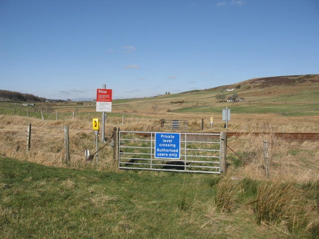
We don't yet have any user-contributed photos of Tomich No. 1 Level Crossing.