Latitude: 58.0152 / 58°0'54"N
Longitude: -4.3627 / 4°21'45"W
OS Eastings: 260511
OS Northings: 905331
OS Grid: NC605053
Mapcode National: GBR H7LJ.Y1V
Mapcode Global: WH3BK.YSNV
Pluscode: 9CCQ2J8P+3W
What3Words: outbursts.connected.circulate
Is the location marker in the wrong place? You can help fix that!
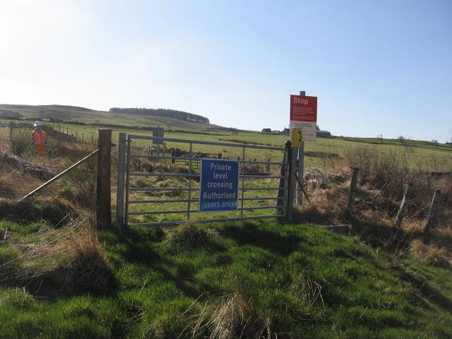
We don't yet have any user-contributed photos of Tomich No. 2 Level Crossing.