Latitude: 52.8845 / 52°53'4"N
Longitude: -0.1978 / 0°11'51"W
OS Eastings: 521365
OS Northings: 333418
OS Grid: TF213334
Mapcode National: GBR HW2.4SZ
Mapcode Global: WHHM0.XRZJ
Pluscode: 9C4XVRM2+RV
What3Words: unrated.prospers.snows
Is the location marker in the wrong place? You can help fix that!
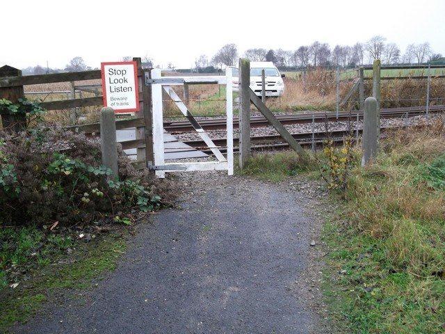
We don't yet have any user-contributed photos of Town Dam Drove Level Crossing.