Latitude: 51.8305 / 51°49'49"N
Longitude: -4.6488 / 4°38'55"W
OS Eastings: 217575
OS Northings: 217967
OS Grid: SN175179
Mapcode National: GBR D0.VTT1
Mapcode Global: VH2P1.C8P3
Pluscode: 9C3QR9J2+5F
What3Words: sweetened.lemons.sudden
Is the location marker in the wrong place? You can help fix that!
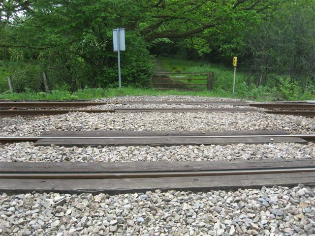
We don't yet have any user-contributed photos of Trewern Mill Level Crossing.