Latitude: 56.3827 / 56°22'57"N
Longitude: -3.3963 / 3°23'46"W
OS Eastings: 313878
OS Northings: 722037
OS Grid: NO138220
Mapcode National: GBR 20.1YRJ
Mapcode Global: WH6QC.STXS
Pluscode: 9C8R9JM3+3F
What3Words: return.scenes.insert
Is the location marker in the wrong place? You can help fix that!
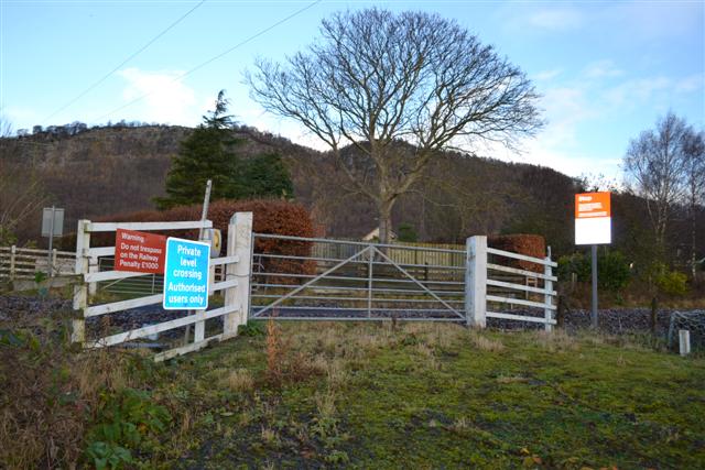
We don't yet have any user-contributed photos of Walnut Grove Level Crossing.