Latitude: 53.8014 / 53°48'5"N
Longitude: -0.4096 / 0°24'34"W
OS Eastings: 504844
OS Northings: 435078
OS Grid: TA048350
Mapcode National: GBR G40.ZP
Mapcode Global: WHGFB.PQ53
Pluscode: 9C5XRH2R+H5
What3Words: entire.bless.album
Is the location marker in the wrong place? You can help fix that!
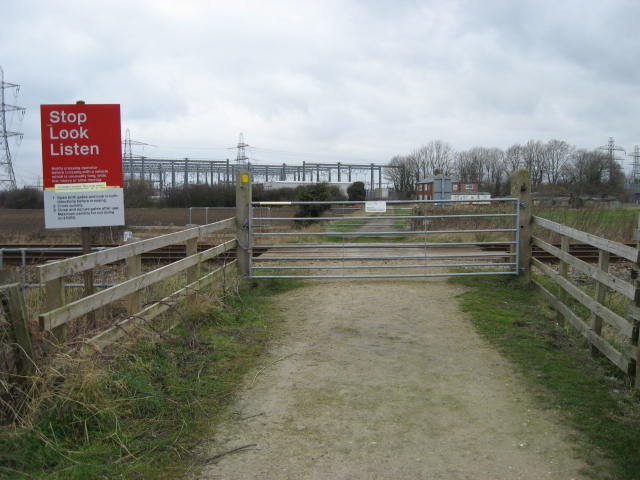
We don't yet have any user-contributed photos of Wanless Level Crossing.