Latitude: 57.3549 / 57°21'17"N
Longitude: -2.701 / 2°42'3"W
OS Eastings: 357920
OS Northings: 829596
OS Grid: NJ579295
Mapcode National: GBR M9P8.WXW
Mapcode Global: WH7M6.HD1H
Pluscode: 9C9V973X+XJ
What3Words: inflates.anode.puts
Is the location marker in the wrong place? You can help fix that!
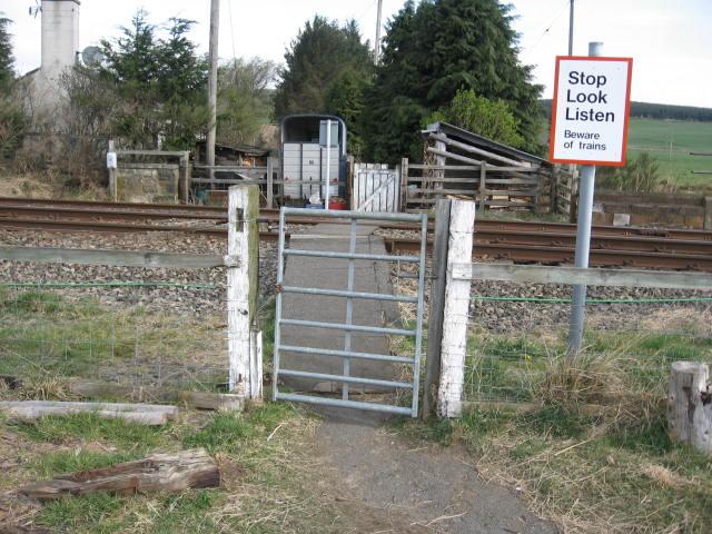
We don't yet have any user-contributed photos of Wardhouse Level Crossing.