Latitude: 54.1495 / 54°8'58"N
Longitude: -2.6394 / 2°38'21"W
OS Eastings: 358333
OS Northings: 472815
OS Grid: SD583728
Mapcode National: GBR BN0G.C9
Mapcode Global: WH94V.FYCV
Pluscode: 9C6V49X6+Q6
What3Words: topped.clocking.panning
Is the location marker in the wrong place? You can help fix that!
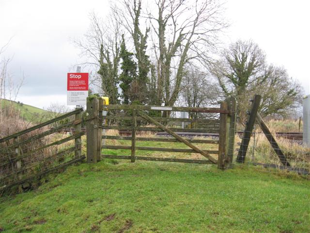
We don't yet have any user-contributed photos of Wards Level Crossing.