Latitude: 51.2229 / 51°13'22"N
Longitude: 0.4098 / 0°24'35"E
OS Eastings: 568374
OS Northings: 149841
OS Grid: TQ683498
Mapcode National: GBR NQB.8FK
Mapcode Global: VHJMK.2J0C
Pluscode: 9F326CF5+5W
What3Words: gems.grazed.playing
Is the location marker in the wrong place? You can help fix that!
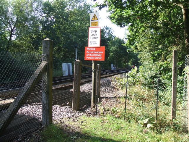
We don't yet have any user-contributed photos of Wards Level Crossing.